Tuesday, 3 August 2010

Ormiston Gorge

At this point this is a bit overdue, but here we continue the story of our adventures with Uni Adelaide geology students...

So after a week around Mt. Boothby spent mostly in the rain, we headed for Ormiston Gorge in the western MacDonnell Ranges. After making a stop in Alice Springs to get another week of food supplies and grab some lunch from Bar Doppio's (best cafe in Alice), we drove west, fervently hoping for dry weather. When we arrived at the camping area, we found ourselves setting up in the rain. Ah well.

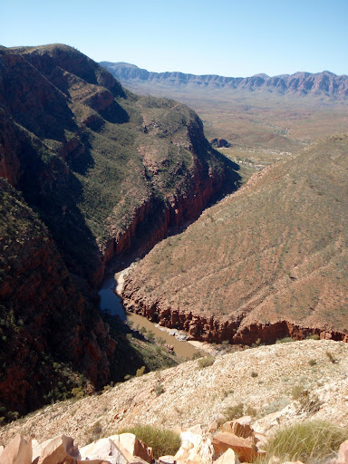
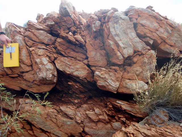
The next morning, we awoke to find the rain gone. Fantastic -- dry field work is always better than being sopping wet. We immediately forgot about the rain. And it wasn't hard, for the geology at Ormiston is excellent. There are only four map units (including the basement), which allows the students to focus on the structure. The structure at Ormiston is textbook thin-skinned fold-thrust belt stuff -- folds, duplexes, thrust sheets. Except that there is a big thrust fault that puts basement on top of Neoproterozoic sedimentary rocks.


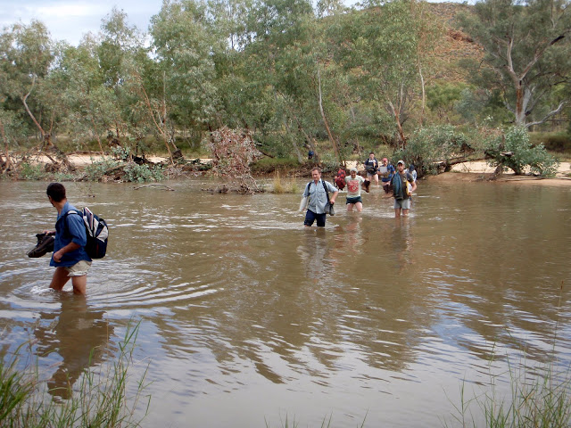
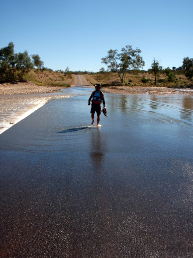
We spent our first day in the field getting the students acquainted with the stratigraphy and looking at the lovely structures. In order to do this, we had to wade across the Ormiston River. No problem. We headed across at about 11 AM and kept doing what we were doing. We didn't think much about it until we were on our way to cross back that we discovered that all of that water that had fallen had made its way downstream and the river had risen considerably. The place that the trail crosses the river was a rushing torrent--certainly not a place I was sending uni students. After some scouting around, we found a wide and relatively shallow (waist-high) part of the river and were able to cross. No problem.


However, the river was running across the road and had risen high enough that the buses could not get out of Ormiston Gorge and back to the campsite. As nightfall approached, we were stuck with eighty wet, hungry uni students and couldn't go anywhere. Solution? Send the intrepid Martin Hand across the river-blocked road and back to camp, where he picked up the moving truck (think a U-Haul) that we had used to ferry gear up from Adelaide. We took groups students across the water, loaded them into the back of the truck illegal-immigrant style, and drove them back to camp at 30 km per hour. We even had dinner at midnight when we finally got the last of the students safely back. All's well that ends well, right?


Happily, there was no more rain and the rest of the week at Ormiston Gorge was sunny and fine. The structural geology was really excellent, and we spent two days walking back and forth over Mt. Ormiston with students near the end of the week. A great way to end a great two weeks of field camp.

Saturday, 31 July 2010

It never rains in central Australia…

Famous last words. Shortly after returning from diving and rainforesting up in northern Queensland, we were off on a new adventure: taking the third-year geology students at Uni Adelaide to central Australia for two weeks of mapping. Central Australia is known for its warm days, cold nights, and excellent Proterozoic (2500-542 Ma) rocks.
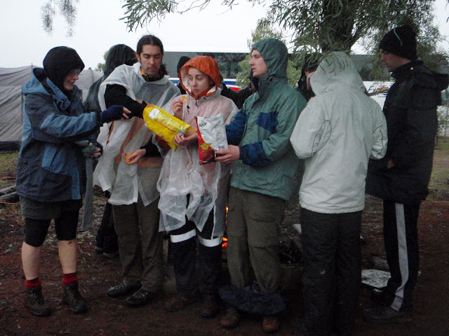

There are a few things about taking the geology students to central Australia. Number one, they haven’t done any mapping since they went to Pichi Richi as second-year students, which for them was over a year ago (actually, they map regolith in between there, but that doesn’t really count). Number two, most of the students (with a few notable exceptions) aren’t very well prepared for being in the out-of-doors. Number three, there are 80 or so of them. That complicates things.

To move eighty students to a location more than 1500 km from Adelaide requires two coaches. This is great, because the coaches each have two drivers and they don’t have to stop. But the coaches don’t really have room for the tents, food, cooking gear, and beer that the students bring. This means that we (the obliging staff) drive cargo vehicles. And we have to stop, so we leave a full day and a half before the coaches. Chelsea and I thought that while driving slowly for 1500 km might be a bit tiring, it might be better than trying to sleep on a coach with 40 noisy, sweaty students. So on Saturday morning our convoy of two cargo vans and a 16-foot moving truck (is that a four-meter moving truck here?) headed north for Alice Springs.

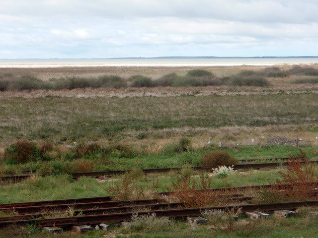
After the obligatory stop in Port Wakefield, the drive was really quite lovely. It’s been wetter this year than it has for the previous ten in the eastern half of Australia, and the landscape is unusually green. This also means that kangaroos can find water out in the bush rather than coming to the road (where moisture collects) and jumping in front of cars. Our rented cargo vehicles all lacked roo bars, so this was a good thing. And we never had to drive for too long, because the moving van could only go about 250 or 300 km on a tank of petrol, so we stopped frequently. Driving on the Stuart Highway, which goes from Port Augusta to Darwin, is a pretty simple affair. There is a station every 150-250 km, so in a normal car with a 500 km range, you stop at every other station for petrol (except in our case, where we stopped at nearly every station). The road is so straight that if you need to pass, you just wait until there are no cars, which is nearly all the time.

We stopped for the night in Coober Pedy, the world center of opal mining, before pressing on to Alice Springs the next day. Alice Springs had everything we needed: grocery stores to buy the food we needed to feed the 15 teaching staff for two weeks, wireless internet, and a fabulous café. It also had rain. Who thought I would be digging to the bottom of our bag for my rain pants in Alice Springs? The following morning, we food-shopped, bought ponchos for unprepared students, and met the buses to drive ~130 km north to Aileron, the next station up the Stuart Highway.
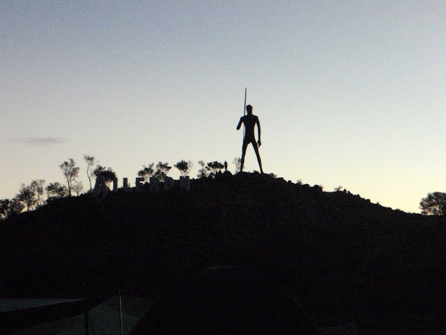

Like most of the stations along the highway, Aileron serves up petrol, food, beer, tourist souvenirs, and other necessities of life—in many ways it is the local market and meeting place. Aileron’s name has nothing to do with the flaps on an airplane; my guess is that it is a corruption of Alyuen, a local community of indigenous Anmatjere people. However, Aileron seems to have attempted to make amends for this by erecting a giant (>10m tall) statue of a male Anmatjere hunter on a hill behind the station. At some point, someone thought that some gender equity should be established, so there is a separate sculpture of an Anmatjere woman and child next to the station as well.
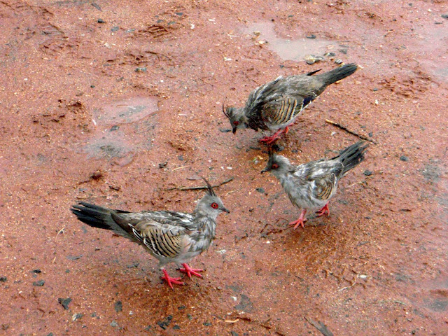

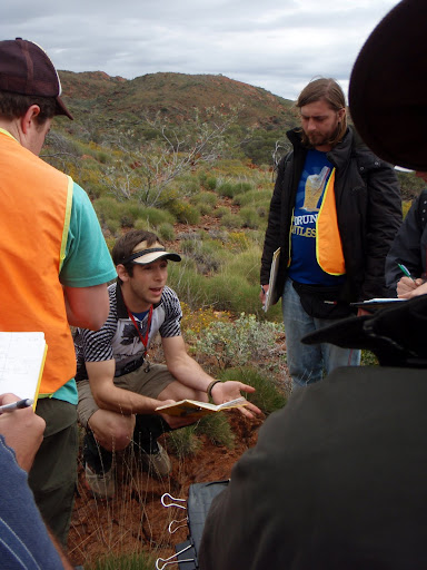
Most importantly for us, Aileron has a caravan park and is just a few kilometers from the mapping area. And when we arrived to set up camp, it was raining. We let the students stay in camp rather than mapping in the rain in jeans, but the staff headed off to look at some sapphrine-bearing rocks (sapphrine is a mineral considered indicative of ultra-high temperature metamorphism). The following day the rain had decreased, and by late morning we were out in the field with the students. It’s a little intimidating to be thrown into leading a group of students through rocks that you have never seen before and have next to no background in, but then you remember that you know more than they do about mapping and metamorphic rocks.

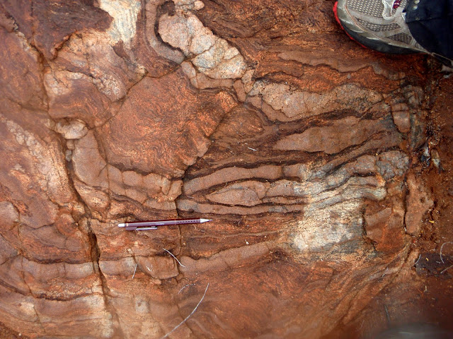
The rocks around Aileron are high-grade metamorphic rocks—granulites, often migmatitic—which means that they have experienced temperatures greater than 700-800°C and some parts of them have begun to melt. Those kinds of pressures and temperatures are found kilometers down in the crust, so the rocks at Aileron have really interesting metamorphic minerals that you don’t get to see at Earth’s surface very often—minerals like cordierite and sillimanite. Remarkably, original details of the rocks are still preserved despite this intense metamorphism—individual packages of migmatitic gneiss progress from very aluminous to barely aluminous, probably turbidites with decreasing clay toward the top (yes, they are somehow still nearly right-side-up). Chilled margins on mafic dikes are still clearly visible, although they have been metamorphosed as well. In a number of locations, shear zones (wet ones which often have kyanite growing in them and dry ones that have become mylonites) cut through these high-grade rocks. And to top it off, this area has experienced a fair number of metamorphic episodes (some people estimate as many as 15) between the deposition/formation of the original rocks and the exhumation of the metamorphosed rocks during the Devonian and Carboniferous (about 350 Ma). This makes it fun to work out the different episodes of deformation.
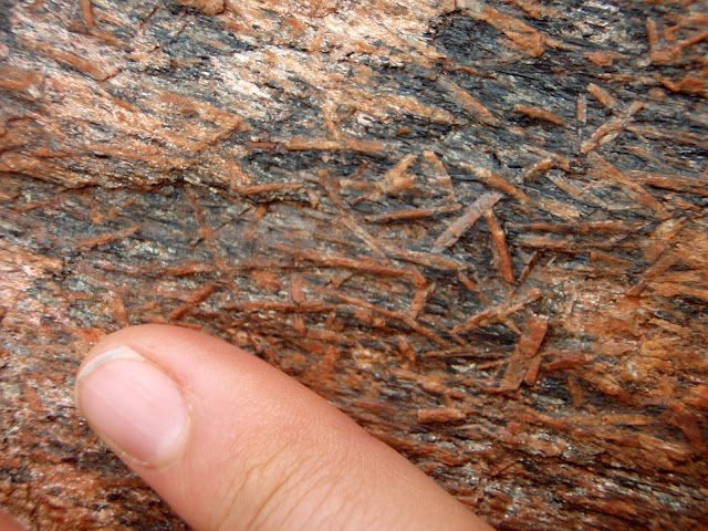
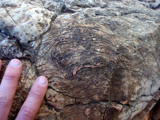
Kyanite growing in a hydrated shear zone

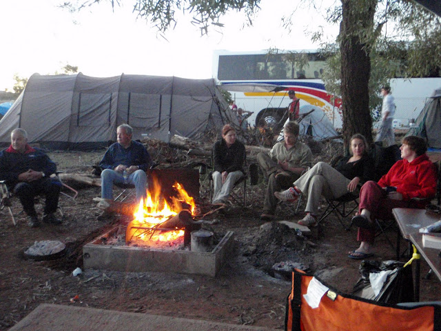
But enough geo-babble. After the rain went away, it turned suddenly to T-shirt weather and the mapping was great. The food we were cooking in the evening was also great—we made things like chicken laksa, pasta fagiole, and baked potatoes in the campfire. For dessert we had crepes and beer-enhanced damper. It was very satisfying to sit around the campfire with a contented stomach and talk with friends at the end of the day. Well, not quite the end of the day—Martin, the leader of the trip, usually did a brief lecture about local geology and mapping pointers in the evening. But soon after it was off to our tent for a long (and relatively warm) night of sleep before getting up early to set out breakfast and do it all over again.
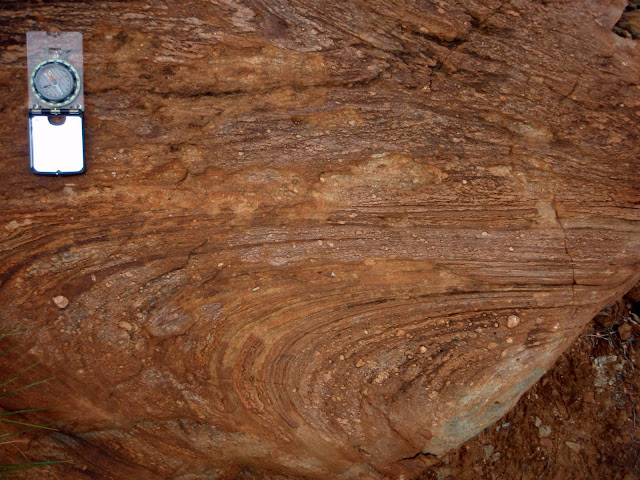
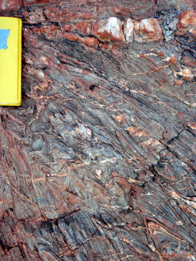
Folded mylonite-grade shear zone

Before we knew it, the students were finishing up their maps and we packed the vans up to head to Alice Springs for a re-supply and then drive to Ormiston Gorge for our second week of mapping…

(More photos from the first week are posted here.)
Tuesday, 20 July 2010

June 24th, 2010

The day went something like this.

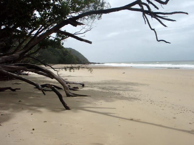
We woke up early at our Noah Beach campsite, and went for a walk on the beach to see the sunrise. We headed in one direction, but when we saw a sign warning that there had been a recent crocodile sighting, we headed the other way. There were a few clouds on the horizon, so we waited to see the sun rise over the clouds. We shared the beach with an older gentleman out walking and a man playing cricket with his three young boys.

After the sun came up, we headed back to pack up camp. It was still well before 9am (the time the local café opened for breakfast), so we drove down the road a bit to a boardwalk through the mangroves in the Daintree Rainforest. We were the only ones there, and enjoyed the quiet peacefulness of the morning forest.

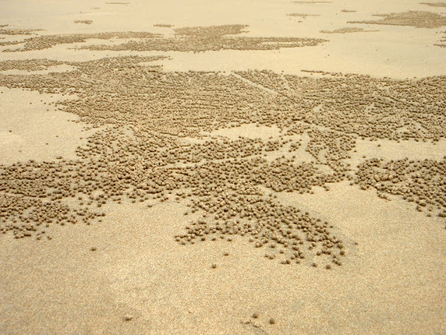
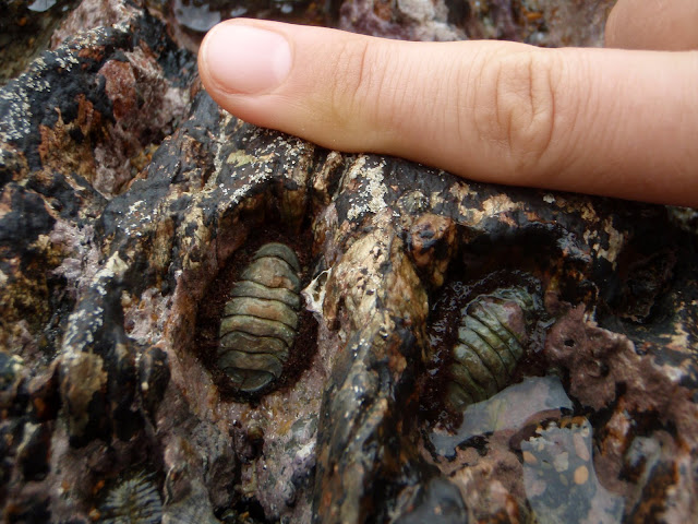
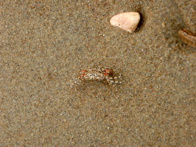
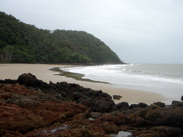
We finished, and still it wasn’t 9am, so Dave suggested we head down to Cow Bay. We had been there the day before, and found the beach to be absolutely beautiful. There were these amazing patterns made of sand balls all over the beach. They appear to be made by little crabs which excavate little holes, making little balls of sand which they push out of their holes. The patterns the crabs made with the balls of sand were reminiscent of a certain style of Aboriginal artwork which contains lots of little dots. There were also interesting rocks at Cow Bay, with neat little chitons, which got Dave very excited. Indeed, we liked the beach at Cow Bay more than any of the others we had stopped at the day before, so I was happy to make another visit that morning.

We were standing there on the beach, and I must have been standing up on a rock, or on somewhat higher ground, because I was feeling especially tall compared to Dave. I said to him, “I’m soooo big (as in so tall).” And he said, “But not as big as the ocean.” Then I said, “And you’re so small (short).” And he said, “But not as small as these crabs.” “But,” he said, “I can move sideways like they do.” And he proceeded to scuttle sideways across the beach. Very romantic, indeed.

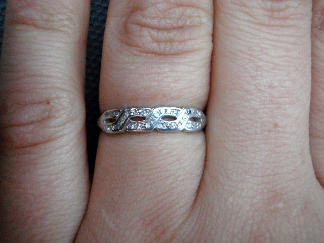
Well, at least Dave must have been feeling romantic, because the next thing I knew, he was asking me to marry him, and pulling a ring out of his pocket. I was completely surprised, not because he was asking, but because I couldn’t believe he had a ring. I assumed he hadn’t really gotten himself organized before we left the US, but in fact, he had prepared everything, and even asked my parents for permission back in December before we left.

When I finally told my parents, I think they were so relieved because they’d had to be quiet about it for nearly 6 months! My Mom told me how hard it had been to keep it quiet, and my Dad told me that he figured Dave had changed his mind since it had been so long! I think Dave’s mom was thinking the same thing as well.

But, I suppose Dave was just waiting for the right time. Cow Bay is lovely – in fact, Lonely Planet describes it like this: “ Cow Bay is simply beautiful.” It was just the two of us on the beach, at least at first. After I had said yes and we’d hugged a few times, a guy walked out onto the beach and gave us a wave. The next thing we knew, he’d taken off all of his clothes and was going for a swim. Not exactly what I expected to see immediately after getting engaged, but there you go!

Dave told me that he’d spoken with the crabs, and if it hadn’t been high tide, they had agreed to write out, “Will you marry me?” with their sand balls. I told him that was OK, and that I was glad he hadn’t decided to propose to me while we were scuba diving under water. While it would have been a good story, I had visions of getting overly excited and losing my regulator. Plus, how would I have said, “Yes!” underwater? Giving the thumb’s up means let’s go up, hugging with scuba tanks on would have been awkward, and what if Dave had dropped the ring down there?! Indeed, I was glad to be on terra firma, even if there was a naked man just behind us!

We celebrated the rest of the day by walking through the rainforest and seeing two cassowaries named Fred and Wilma (these dinosaur-looking birds are often tricky to find), eating four flavors of ice cream at the Daintree Ice Cream shop (they only make four flavors each day, and your only choice is to buy a cup with a scoop of each), eating Thai food for dinner (where we learned from our menu about vegerarianism, which we assume must be some new religion), and finishing off the day with homemade gelato.

So, that’s the story. We have not picked a date yet, but we’ll let you know when we do! For now, it’s off to central Australia for two weeks in the bush looking for rocks. I can’t wait (seriously) : )

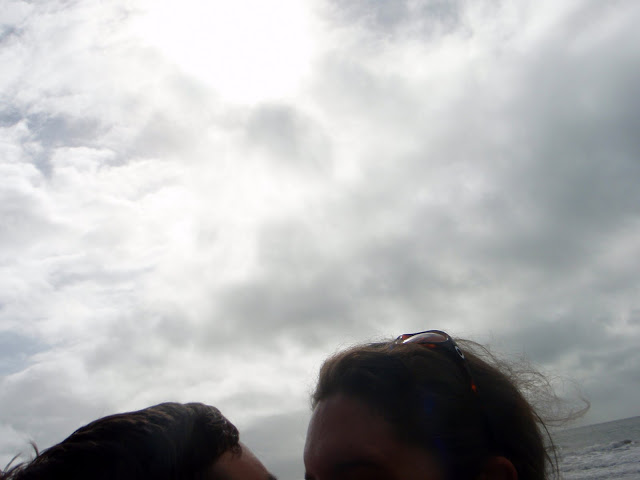
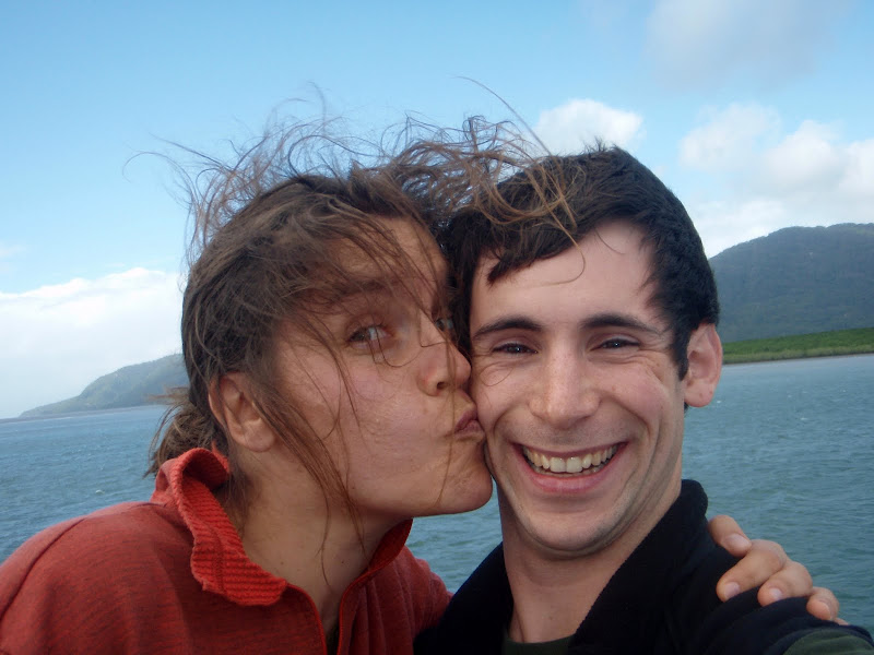
And, here's the very excellent photo we took of ourselves just after getting engaged!

Friday, 2 July 2010

What did you do for the Queen's Birthday?

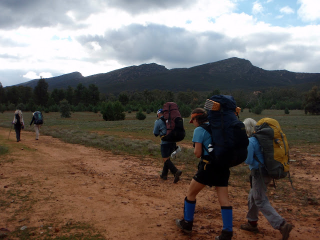
In South Australia, the Queen's birthday is the second Monday in June (for some reason, it is celebrated at the end of September in Western Australia). For us, it was a long weekend and a chance to get out of town and into the out-of-doors. We grabbed some dinner from the Central Market, walked over to the bus station, loaded our backpacks, got on the bus with 40 other people from the Adelaide Bushwalking Club, and headed to the central Flinders Ranges. We arrived at the Wilpena caravan park around 1 AM, quickly set up camp, and went to bed. The next morning, we broke into groups, and headed out for the weekend to go backpacking.


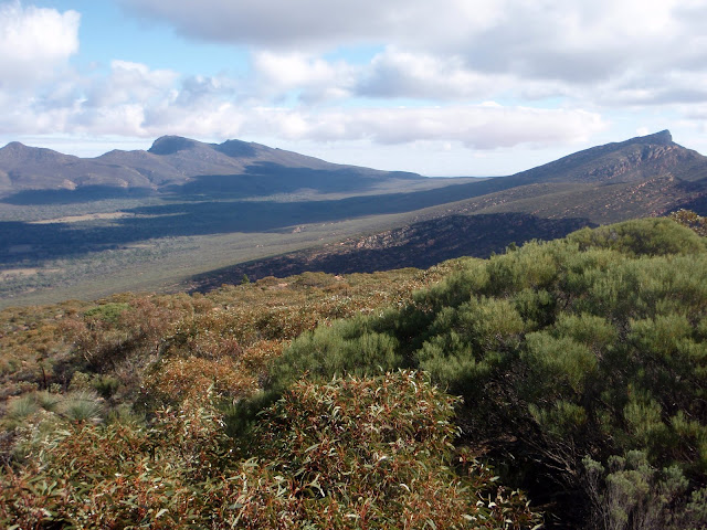
Wilpena Pound is an interesting geologic feature that sort of looks like an elongated saucer. As Dave explains it, after the sedimentary rocks had been deposited essentially flat, they were squished in one direction, reshaping the rocks into parallel folds. The Pound was a syncline, which means that the rocks on either side slant down toward the middle in an arch. Later deformation pushed up the ends of the Pound to make this unusual bathtub-like shape. Early European settlers called it a ‘pound’ because it was a handy place to keep livestock. All they had to do was close off the one entrance, and there’s really no way for an animal like a horse to get out.


There were several walk choices for the long weekend, so Dave and I decided that we would do a walk which included having a base camp in the middle of Wilpena Pound. This trip allowed us to climb two peaks, and also to explore the Edeowie Gorge, which seemed to us to be many of the highlights of the Pound. Also, we thought it might be a good idea to limit the amount of time we spent carrying full packs since we only have our trail runners with us, and not sturdy hiking boots. When you go bushwalking, you usually have to carry all of your water because there really aren’t any reliable streams in the desert. That meant our packs were heavier than normal, so we thought it would be nice not to spend the entire weekend with full packs on our backs.

Of course, a number of other people also thought that this trip sounded like a good idea, so we had a fairly large group. At first, we were thinking that it would sort of spoil our weekend in the wilderness. But, we decided that it was silly to let something like that ruin our time there, so instead, we decided we’d enjoy ourselves no matter what happened with the group. And, indeed, we did. We met Liz and Steve, a wonderful couple from Oregon. (Liz is originally Australian, but she had lived in Oregon for the last three decades). They had recently moved (or moved back) to Australia to learn a little bit about Liz’s own country. We really enjoyed talking and walking with them.


The other people were good value as well, mostly because they provided a lot of entertainment. I know that sounds really bad, but let me explain. One woman (I think this may have been one of her first bushwalks ever) had recently purchased a dehydrator and a vacuum sealer. She had spent the entire week before the bushwalk dehydrating and vacuum sealing all of her food. And, I mean ALL of her food. The first day, she pulled out a sealed bag filled with shredded carrots and lettuce. Then, for dinner the first night, she had a steak and a dehydrated baked potato. (For some reason, she had separated the inside of the potato from the skin.) It was the first and probably will be the only time I meet someone who brings a streak backpacking! At lunch the next day, she pulled out her sealed potato chips (why she felt the need to vacuum pack potato chips, I will never know.) It was really hilarious. And, I can’t imagine how much plastic waste she must have been carrying with her by the end of the trip.


Another couple (who were probably also fairly new to backpacking) would use their stove at lunch time to make things like soup and macaroni and cheese. Another woman didn’t bring a stove at all, but instead ate tomatoes, avocadoes and dehydrated bread for the whole trip.
It felt a little bit strange to be riding on a coach up to the Flinders to go backpacking (bushwalking, as they call it here). It was also a bit strange, because we were definitely the only people on the bus under 30.

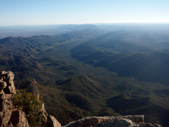
After exploring around the Pound for a couple days, we woke up in the dark at 5:30 on the last morning to climb St. Mary Peak, the highest peak in the Flinders (at a whopping 1171 m). St. Mary Peak is actually not a long or dangerous walk, but we needed to be back to catch the bus by 11 AM, so we were off walking in the cold and dark. As we climbed upwards, the sun peaked over the top of the far wall of the Pound. After a quick jaunt to the peak for amazing views in every direction and a soaring wedge-tailed eagle for company, we meandered down through the trees to the waiting bus. On the way back to Adelaide we reflected—a regrettably quick trip to one of the classic spots (probably the classic spot) in the Flinders, but it had been beautiful and relaxing, with some hilarious spectacle to boot.

Scuba Dave

Nope, I didn’t misspell ‘dive’ in the title above. I put Dave on purpose, because Dave did such a good job scuba diving at the Great Barrier Reef last week. He probably wouldn’t want me to tell you all, but I am going to anyways because I was so impressed.


Before we left on our 5 day liveaboard, Dave had completed his 4 certification dives, and then only 3 other dives. We were scheduled to do up to 14 dives on the liveaboard, at 3 or 4 dives/day. The conditions on the Great Barrier Reef at this time of year do not make for easy diving. Because it’s winter, there can be a lot of wind, which means choppy waves and swell.

We certainly had swell and choppy conditions. The boat was rocking so much at some points, you had to hold on not to go flying across to the other side of the boat. We even had to cancel the trip across the open ocean to Osprey Reef for the shark feed because the conditions were too rough. When we were diving, the boat was usually fairly protected from the swell by the reef. However, it was still choppy and rough on the surface.

It was also a little bit cold – particularly our spot on the boat, which had to be the windiest spot on the whole boat. Even though I love diving, I had to psych myself up to put on my wet, cold wetsuit and then sit in the wind before getting into the water. Also, on the last day, the visibility was pretty terrible (the bad weather I guess had stirred things up.)

Despite all of these trying conditions, Dave completed every single dive (13 – they had to cancel one night dive because of bad conditions) and really did an excellent job. He was very calm in the water, and often saw things that I didn’t. He made me very proud, (which is good, since I was his instructor!)

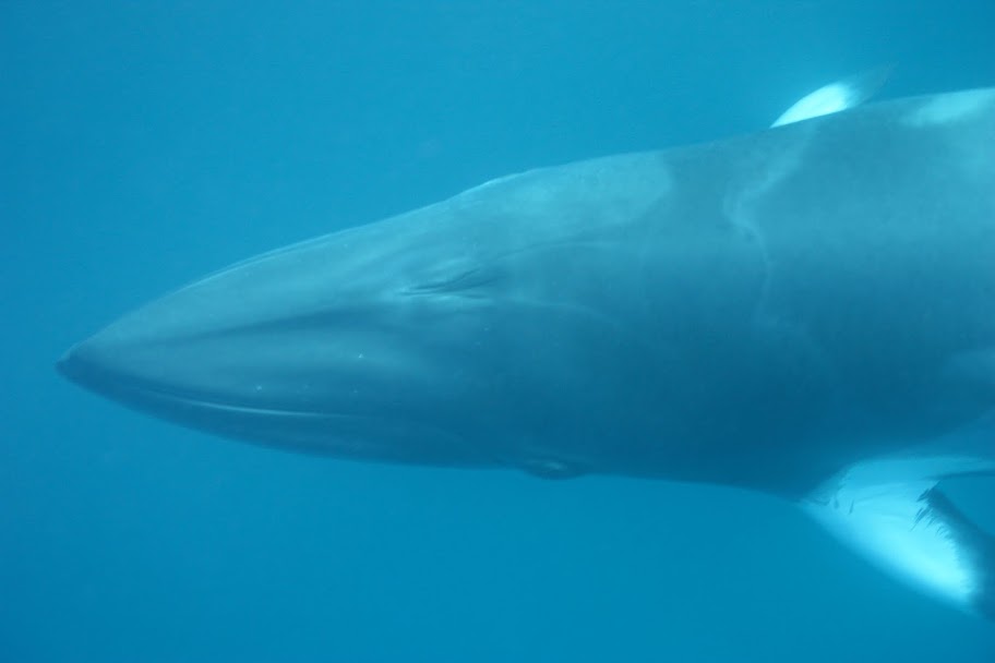
But, onto the exciting part – the diving! We saw wonderful things out there, including Minke whales, which are sort of like overgrown dolphins. They’re attracted to sounds and things and people, so they came over to the boat, and we were allowed to get out and snorkel with them. It was pretty awesome.

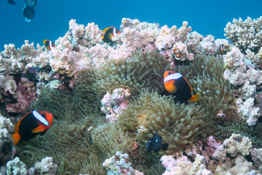
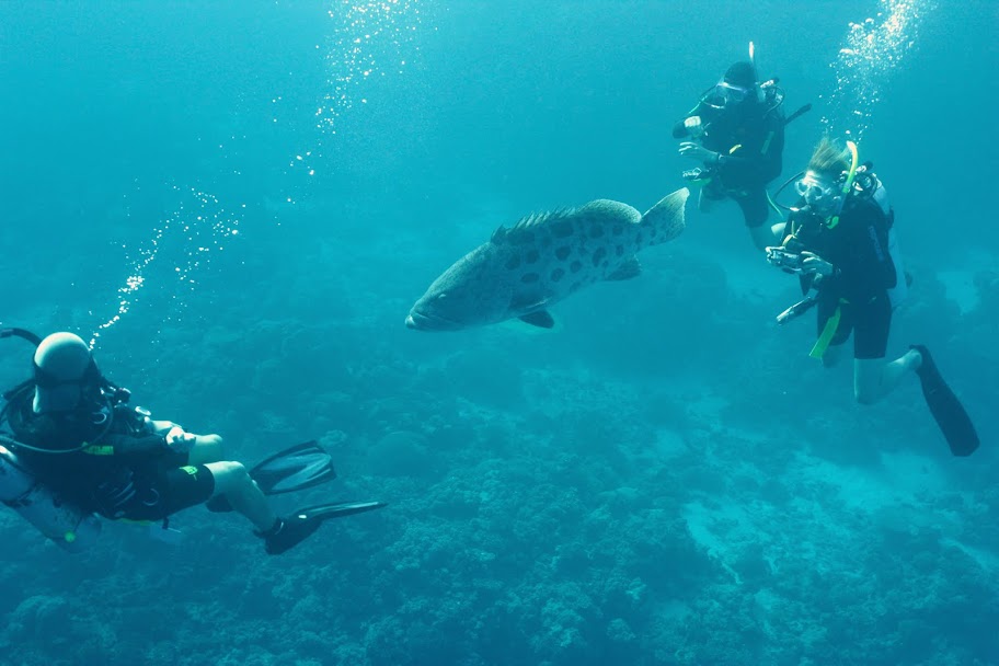
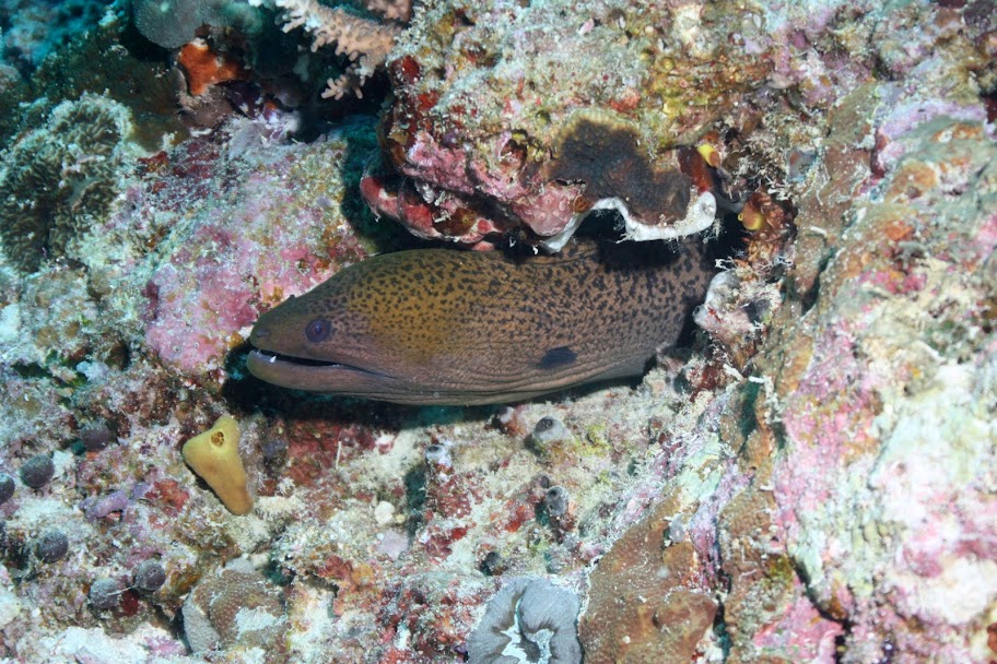
Underwater, the sea life was great. The coral has to be some of the most amazing I’ve ever seen, and we saw lots and lots of small and large things. We have a number of pictures up, and have some great video from the trip, so when we get back, we’ll be happy to have some viewings. We’ve already watched it several times, and just love it!

It was my first time on a liveaboard, and I have to say it was pretty good, especially considering the cold, windy diving conditions. Essentially, you go for a dive, eat, dive, eat, have a nap, dive, and then eat. If you go to the Great Barrier Reef to dive, I think the liveaboard is the only way to go. The reef is not really that close to Cairns, and the best, healthiest parts of the reef are generally the furthest away. To give you some idea, we left Cairns at about 4 or 5 in the afternoon, and we made it to our first dive site the next morning after motoring out there all night.

I’m not sure if I would go again during the winter at the Great Barrier Reef (we went when we did because it is Minke whale season, so now that we’ve seen them, I think we can go when the weather’s better!) But, I am excited to do another liveaboard at some point – we keep hearing how wonderful places like Borneo are, so we’ll have to see how we go.

But, I’m pretty thrilled to have had the chance to dive the Great Barrier Reef. It is huge and unlike any other dive sites I’ve ever been to. Essentially, you’re out in the middle of the ocean – sometimes you can’t even see any land or other boats. Yet, there’s a mooring, and if you follow the line down, you arrive to find an incredible array of life. Pretty sweet! You can see some of the photos from the trip here.

Friday, 11 June 2010

Education in Australia, Part Two

As it turns out, there are enough interesting things to say about tertiary education in Australia, that we thought we’d write another blog about it. We recently learned that awhile back (perhaps in the 60s or so?), only the top 6 or 7% of students went on to university. Other people went to colleges, which sound to us like vocational schools or community colleges, but only the top students got university degrees. That then changed completely when the Whitlam Labor Government abolished university fees in 1973. So, suddenly, everyone could go to university, and the Government was going to pay for it. As you can imagine, this didn’t work out so well, since it didn’t take people too long to figure out that they could avoid getting a real job, and just continue on at university, getting 3 or 4 degrees. Their financial success in university was also due to the fact that the Government paid students an allowance (called the dole), and still does. Yep, that’s right. As long as your parents don’t make too much money, the Government pays you a weekly allowance while you’re in university. (If your parents do earn over the threshold, you can still get the allowance if you prove that you’re independent, which means that you’ll have to work an average of 30 hours per week for an 18 month period before you can get the allowance. Since many students take a Gap year, it would be easy to work that much for at least 12 months, but perhaps could get tricky if you wanted to start school, and still had to work 30 hours/week.)

Back to the period of free education, we heard some stories of people purposely failing exams so that they could remain students and keep receiving the dole while going to school for free. School is not free anymore (that ended pretty soon after in the 1980s), though prices are still much lower than in the US. And, it sounds like they’re planning to increase the dole as well in order to encourage more students to go to university. In fact, the recent Unilife Magazine here at the University of South Australia (UniSA) says that most students currently receive $377 every two weeks. If their rent is more than $250/week, then they can receive additional rent assistance of up to $113/week. Starting this year, there are also scholarships of $1300/year to help pay for books. This is expected to increase to over $2000 by 2012. Now, students can earn up to $236 every two weeks before their allowance is reduced. That will also increase to $400 in 2012.

These are my two favorite excerpts from the article about the allowance increase: “I think it’s ridiculous that they are trying to give us more. It’s money for nothing, all I have to do is study and then support the baby boomers when they retire,” and, “Nick admits the extra money would probably go into savings and not have a huge impact on his lifestyle.”

Maybe I’m just jealous, but I really can’t imagine receiving an allowance from the Government while I was at college. It would have been great indeed, but just seems like the most foreign and unimaginable concept ever. It’s a little hard to understand why students need the dole since many of them actually still live with their parents while they go to university. Also, if you need to borrow money to go to school, you don’t start paying it back until you graduate and get a job that pays you at least $30,000/year. Then, the money is automatically taken out of your pay check, sort of like taxes, to pay back your loan. I guess things are different than in the US because the percentage of students at university is much lower. Seems like Australia is experiencing the opposite problem, which is too few students getting higher degrees. In fact, Australia is heavily dependent on international students at universities (I’m pretty sure the Government doesn’t give them an allowance, and their tuition fees are much higher.) Interestingly, we learned that when the economy nose-dived in 2008, Australian universities were worried that international students wouldn’t be able to afford tuition any more, and that their numbers would decrease. Instead, what happened is that they could no longer afford US institutions, and numbers at Australian institutions actually increased.

The last little tidbit about education here is that to get into school, the only thing that matters is how you score on the national tests (I’m guessing it must be something akin to the SAT or ACT in the US.) Students do not have to submit the same kind of applications that we do in the US, where it’s essentially a resume of your academic, athletic and extra-curricular activities, along with recommendations, transcripts, etc. Here, the school and subject you study is based on how well you do on the exam, and also how many other people want to do the same subject as you. So, if you were really bright, but wanted to do a relatively unpopular subject, you would perhaps not be with many other bright, engaged students, as it would be relatively easy to do that subject. Definitely an interesting thing to think about whether or not it’s a good idea to have students competing so hard to get into the best schools…

Well, that’s perhaps most of the interesting things we’ve learned about higher education here in Australia. Hopefully you’ve enjoyed learning about it as much as we have!

Wednesday, 9 June 2010

The long view on water in Australia: An amateur’s view

Australia is frequently billed as the driest populated continent in the world (Aussies are fond of applying superlatives to their homeland). South Australia is even the driest state in Australia. We came here for the year specifically so that Chelsea could study water policy here because so much research has been done on the various facets of water policy. Water is of such interest to Australians precisely because they have so little water to go around for all the different users: cities, industry, agriculture, and river ecosystems.

Like most countries, agriculture uses the majority of water. In Australia, the lion’s share of agriculture takes place in the Murray-Darling Basin. And agriculture occupies an important place in both the national economy and the psyche of Australians—quite similar to the importance of the American heartland and its residents to our national identity.

In the mid-1800s, surveyor George Goyder laid out what is known as Goyder’s Line, a boundary that separated land that receives enough rainfall for farming from land that was suitable only for light grazing. While Goyder’s Line exists only in South Australia, it would not be hard to continue the line through the other southern and eastern states—it would essentially follow the crest of the Snowy Mountains and the Great Dividing Range. Alarmingly, the entire Murray-Darling Basin (MDB) lies on the wrong side of Goyder’s Line.


So how is the breadbasket of Australia located in a semi-arid climatic zone that is poorly suited to agriculture? The answer comes in two parts. First, farmers and ranchers spread into the Murray-Darling Basin in two waves, following the first and second World Wars. The decade following World War I was a time of unusually high rainfall and the Australian Government, eager to reward its loyal soldiers and settle the empty plains of the interior, granted land and water rights without restraint. Importantly, the water rights were based on the rainfall during those exceptionally wet years. When climate returned to its normally arid self, many of those farmers found themselves struggling to survive (in fact many did not, causing the first of a number of periodic waves of farm consolidations). Following a second wave of land grants to soldiers returning from World War II, farmers similarly found themselves unable to be financially successful in the climate of the Murray-Darling Basin. The second part of the answer to the question comes in the response of the government, which built a massive series of dams (weirs) along the River Murray and to impound the streams draining the Snowy Mountains (the latter being the so-called Snowy River Scheme). These massive construction projects served a number of purposes: they employed many returning soldiers, they encouraged huge numbers of European immigrants to come to relatively unpopulated Australia, they provided flood control (viewed as needed after the 1956 flood of the Murray, which had submerged the entire ground level of most structures in communities along the river), and they engendered confidence in the abilities of the still-young Australian nation. They also forever turned the river in to a series of what are essentially lakes—a geomorphologic subsidy for Australian farming.


Even with huge amounts of water to make the land agriculturally productive, the problems of the Murray-Darling Basin were not at an end. Intensive agriculture has drawn down the water table, adding substantial amounts of salts (primarily gypsum, calcium sulfate mineral) into the Murray-Darling hydrologic system (much of the MDB is underlain by Miocene carbonates and evaporites). Experimental projects have used mechanical means to remove salt, but they are small and expensive. Ironically, the only system large enough to remove the amounts of salt now present in the Murray-Darling system are the wetlands that line the river—wetlands that are stressed and disappearing because of the fundamental changes that were made to the rivers in the 1950s. Because of this, Australia has become one of the first countries to widely accept the need for environmental restoration.

To make matters worse, some have tried to sidestep the water crisis by tapping groundwater supplies. Use of “bore water,” as groundwater is commonly called here, is widely encouraged. Unfortunately, this fix won’t even last as long as the Ogallala Aquifer in the central United States—groundwater reservoirs in Australia are mostly small and shallow, and often saline.

Being a geologist, I tend to see the debate in a slightly different light—from a longer-term perspective. Fundamentally, the climate of most of the agricultural regions of Australia makes agriculture there impossible without huge additions of water for irrigation. Would it make sense to put in hundreds of square miles of rice paddies in Arizona? Australia is the largest producer of rice outside of southeastern Asia, and the growing takes place in relatively arid regions. (To be fair, the US government has massively subsidized similarly senseless agriculture in much of the arid western US.)

Today, Australia is struggling with what to do about water—there simply isn’t enough for municipal use, growing industry (both mining and power generation use substantial amounts of water), and healthy wetlands (that can hold salt levels down to manageable levels) as long as huge amounts of water are diverted to make what is essentially a desert into productive farmland. Something has to give, and in that situation the errors of the past century are glaringly apparent: overallocation of water rights and a climatically foolish choice of a main agricultural region. The United States shares both of these elements, particularly the former. The primary difference between the two seems to be that Australians are actively discussing (and disagreeing) about what to do about the problem. And how they are trying to solve the problem is a topic for another post…